the coast
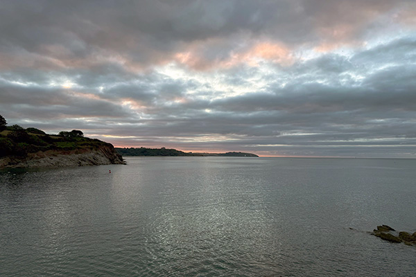 very early morning at my local beach, 27th July 2026
I live near the sea, a little over one kilometre from a sheltered southeast-facing beach in South Cornwall. I say that I live near the sea rather than by the sea as I don't want to give the impression that I live in a house with a view of the sea.
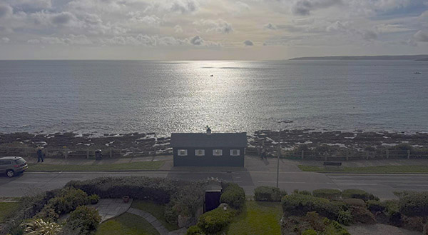 a sea view from an apartment in the town where I live, October 2026
photograph by Cheyenne L Campbell
I could say the I live on the south coast, but I don't say this for the same reason - I have no view of the sea from my house. However, I think that coast itself raises an interesting issue - exactly where is the coast?
Consider this: you are standing with your feet in the sea, looking out at the horizon; turn around, head off inland; when do your senses and knowledge inform you that you are no longer on the coast? When you have reached that point, turn around again facing your best guess of the direction of the sea; has anything changed, do your senses and knowledge still inform you that you are on the coast, or has something else come into play here?
Clearly, if you need to see and/or hear the sea for you to regard your being on the coast, then you will not have walked very far. But I am interested in why one might feel that one is on the coast once the sea can no longer be seen and/or heard. This may well be pedantry on my part, but I posed a similar question in a broader context regarding the so-called Mediterranean Diet - walking away from the Mediterranean Sea, when do you stop being on the Mediterranean?
Consider this: Southampton is a city "on the south coast of England", even though it is located 10km from the sea (the Solent) up the tidal estuary of Southampton Water. The city itself has a population of over 250,000, and covers an area of 72km². How is it that Southampton is on the coast? Or rather, is everywhere in Southampton on the coast even though that could be 18km from the sea? What makes a place on the coast? Is London on the coast? Is New York City? Well, yes it is, in the generic sense of its being on the East Coast.
the coastline
The South West Coast Path (SWCP) is a 230 mile English long footpath following the coast/line from Minehead (in Somerset) to Poole (in Dorset). It crosses my local beach.
But following my questions about coast, where is the actual coastline? The map below illustrates the problem. Here, the coastline is indicated by a black line that is seen crossing the beach in three straight line. This can then be followed crossing notional tidal rocks either side of the beach. The seemingly arbitrary manner in which the coastline has been illustrated by the Ordnance Survey is indicative of the more interesting problem (for me) of where is the actual coastline? Of its very nature, a beach cannot realise a meaningfully accurate coastline - hence the notional indicators on the OS map that is intended to practical information about the local of a coastline (the same lines appear on the 2001 OS Explorer map while the local context has changed significantly).
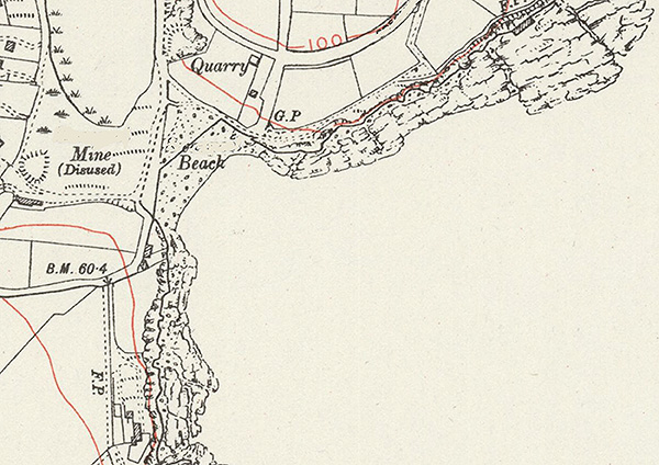 a generally anonymised map of my local beach
(a detail based on the OS Cornwall sheet LXXI.SE c.1938)
Technically, the Ordnance Survey states that the coastline "generally represents the landward boundary where the land meets the sea at Mean High Water (MHW). It marks the average high-tide line and excludes the intertidal zone and offshore." Adding, "Mean high water (springs) mark is subject to continuous change but the captured alignment of a tide line is a snapshot on one day. It is not practical to revise tide lines very frequently." But it is not clear how the line of MHW is determined, nor how it is transferred to a map.
However, I am most interested in a particular aspect of the location of the coastline - the granularity with which it is resolved, either on an OS map, or as actually perceived and/or determined by a viewer by the sea; and, in the case of the South West Coast Path, how the distance of a coastline is measured.
The length of the approved footpaths of the SWCP can be measured by pedometry - I am not arguing with that. Rather, when one looks down at the sea from a cliff edge one does not preceive the neatly curved lines of the Ordnance Survey's MHW. The meeting of sea and cliff is often a chaos of rocks and water. And this harbours my (pedantic) interest. If one could measure the outlines of the rocky base of a sea cliff, how accurately would one undertake this - that is, how would one deal with the irregularities in the rocks, what level of granularity would be involved?
So, aside from its cartographic association with MHW, I suggest that coastline is a conceptual phenomenon - it is what you want it to be and/or what it might appear to be at a certain time on a certain day. One might also think of it in terms of the conundrum, the threshold of the sea.
coastline as work
I have made work involving coastline in the past. And I have written about a local artist who had a large coastline work stolen; work that a charlatan performance artist later claimed as his own, but that is another story. However, I am currently revisiting some of my former ideas on coastline.
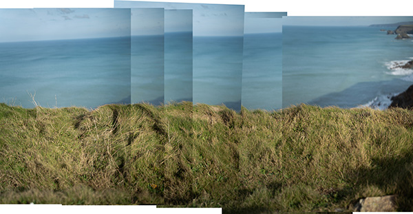 Reskajeage Downs, 30th October 2026
The first, not overwhelmingly successful trial on the North Cliffs. The main issue is keeping the far line of grass in focus with a heavy hand-held camera/lens. I will revisit with monopod.
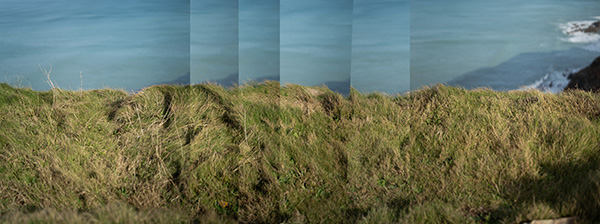 alternative version; Reskajeage Downs, 30th October 2026